- Sections
- Ruby
- Web Development
- Artificial Intelligence
- Urban Planning
- Astronomy
- Issue Navigation
- Previous Issue
- Next Issue
Sunday, October 19, 2025

The Digital Press
All the Bits Fit to Print
Ruby
Sunday, October 19, 2025
All the Bits Fit to Print
Interactive tool illustrating land use across European countries
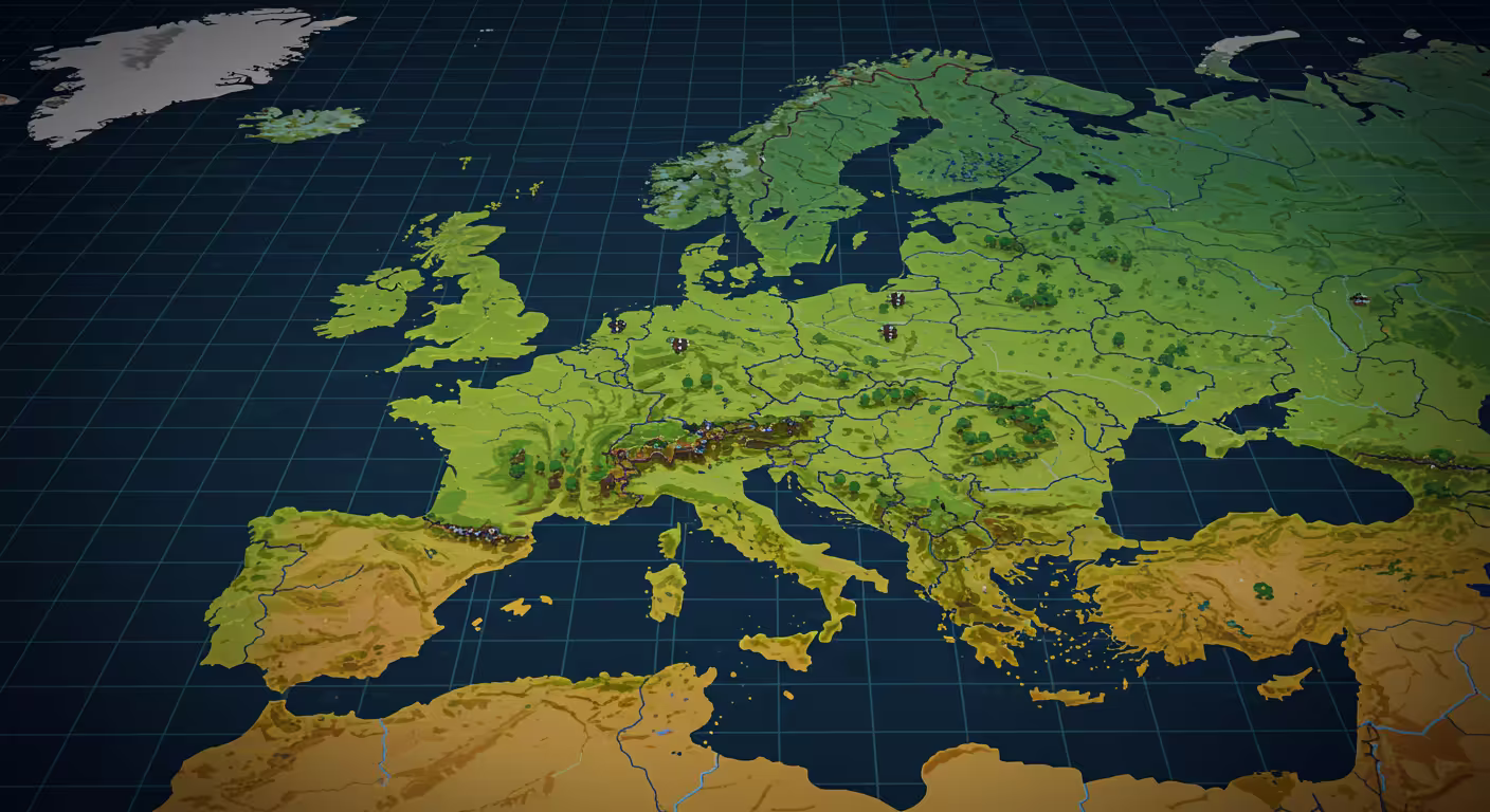
The article discusses an interactive visualization that ranks countries by land use categories, showing how different areas like urban, farmland, and green spaces compare.
Quick takeaway: The visualization allows users to explore land use patterns across countries with engaging animations.
The other side: Some users suggest adding rankings, comparisons, and area measurements for deeper insights.
The stakes: Accurate land use data helps understand environmental and urban planning challenges worldwide.
Commenters say: Users appreciate the idea and animations but request more comparative features and note minor bugs in the interface.