- Sections
- Ruby
- Web Development
- Artificial Intelligence
- Urban Planning
- Astronomy
- Issue Navigation
- Previous Issue
- Next Issue
Tuesday, November 04, 2025

The Digital Press
All the Bits Fit to Print
Ruby
Astronomy
Tuesday, November 04, 2025
All the Bits Fit to Print
Framework generates detailed 3D urban scenes from satellite images
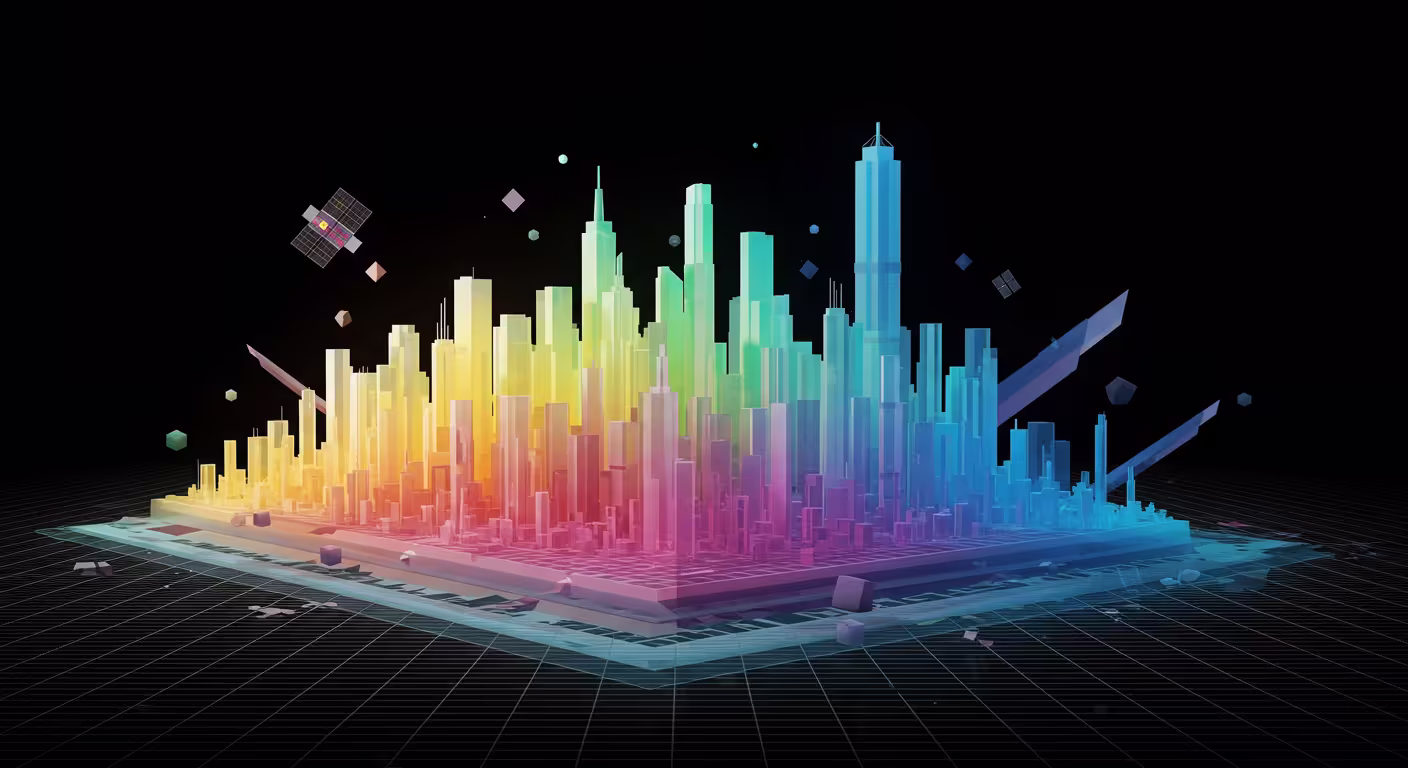
Skyfall-GS is a new framework that converts satellite images into immersive, explorable 3D urban scenes with real-time rendering, using diffusion models and iterative refinement. It synthesizes realistic city-block scale models without expensive 3D annotations.
Why it matters: Enables large-scale, photorealistic 3D urban scene creation from widely available satellite imagery for immersive applications.
The big picture: Combines satellite geometry with diffusion-based texture synthesis, offering an alternative to costly 3D scanning methods.
The stakes: Current limitations include coarse building detail and visible artifacts, highlighting challenges for close-up exploration and realism.
Commenters say: Users appreciate the impressive scale and potential for simulation or gaming but note texture artifacts, limited detail, and desire integration with ground-level data.