- Sections
- Ruby
- Web Development
- Artificial Intelligence
- Urban Planning
- Astronomy
- Issue Navigation
- Previous Issue
- Next Issue
Monday, September 15, 2025

The Digital Press
All the Bits Fit to Print
Ruby
Monday, September 15, 2025
All the Bits Fit to Print
Access to detailed models of European metro stations is restricted.
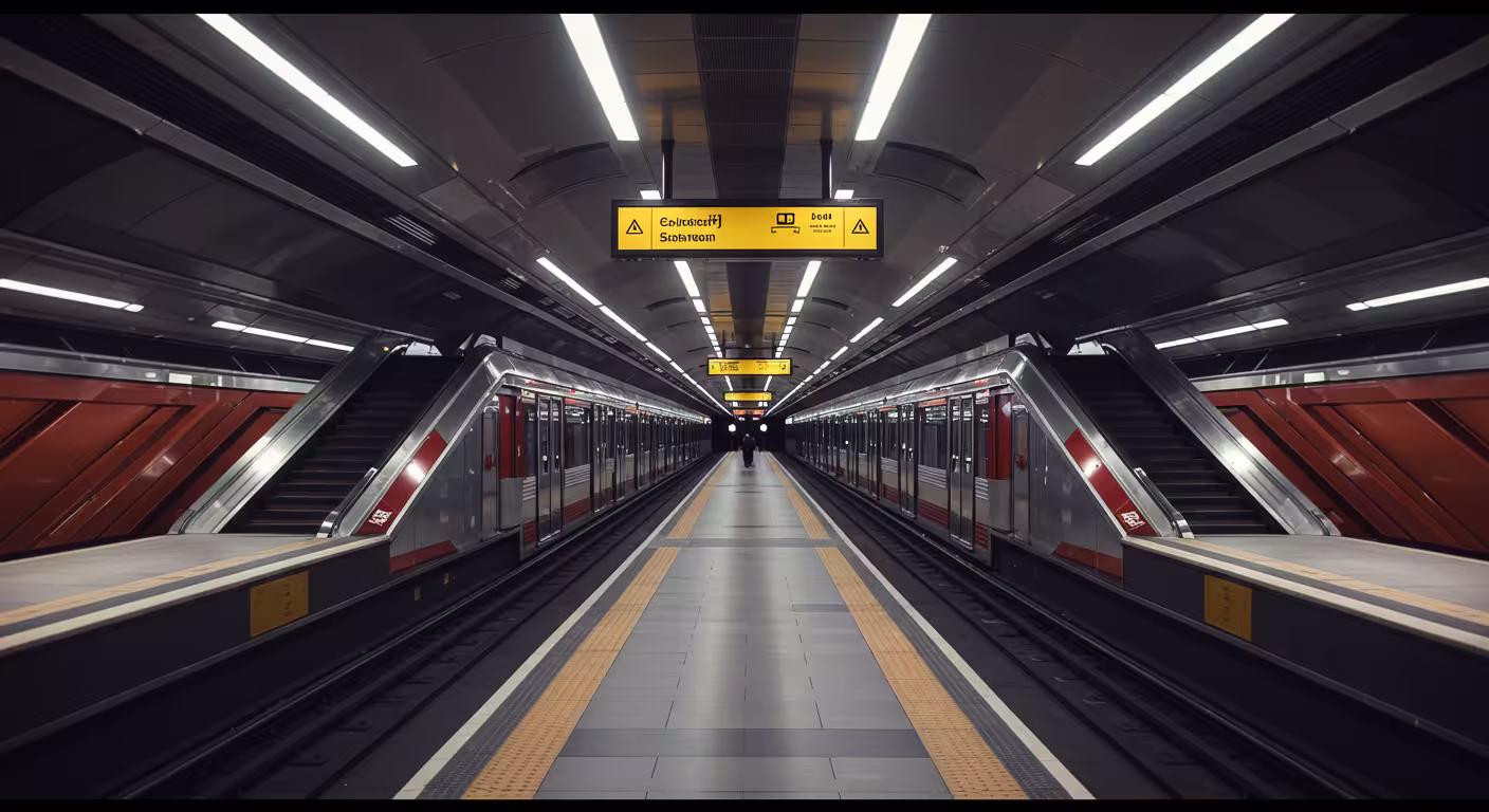
An impressive project showcases detailed, mostly hand-drawn maps of complex metro stations worldwide, digitized to help users better navigate these spaces.
Why it matters: The maps enhance accessibility and understanding of complicated metro layouts, aiding travelers and those with reduced mobility.
The big picture: Created over a decade by a single person, the project reflects dedication and the value of manual cartography in the digital age.
Commenters say: Users are amazed by the scale and detail, appreciate the accessibility focus, and suggest adding missing stations and improving zoom speed.